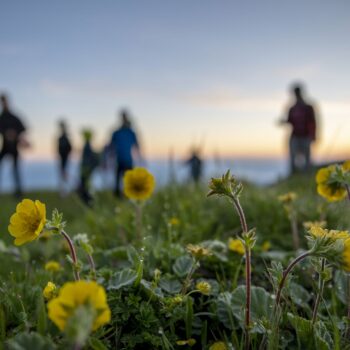
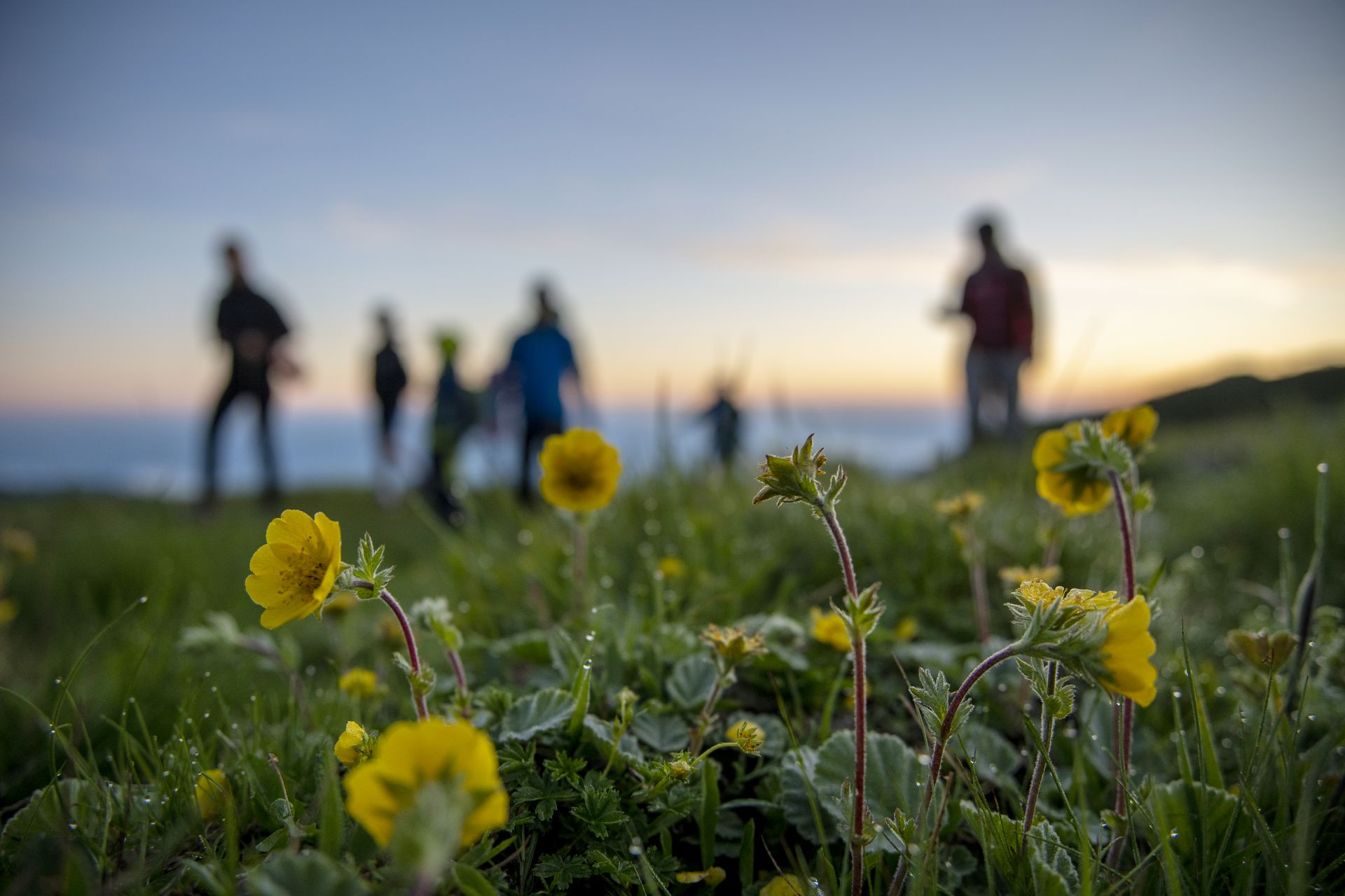
Discover a unique cross-border region where nature, geology, and culture intertwine. The Karawanken-Karavanke UNESCO Global Geopark is a living landscape of geological wonders and a model of sustainable cooperation between Austria and Slovenia.
About the Geopark
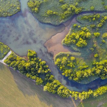
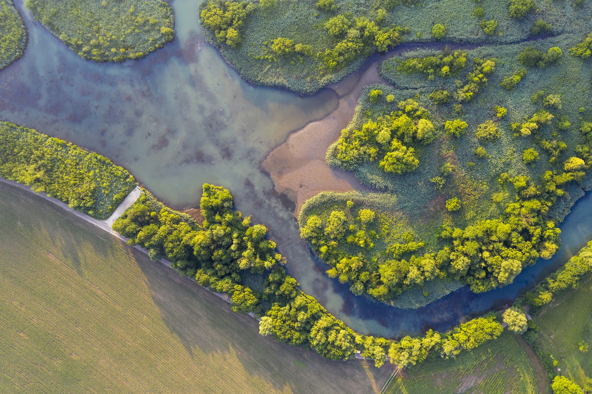
The Karawanken-Karavanke UNESCO Global Geopark extends across 1,067 km², uniting 14 municipalities — 5 in Slovenia and 9 in Austria. It lies between the mountain ranges of Petzen/Peca and Koschuta/Košuta, forming a natural link between the Alps and the Dinarides.
This unique position makes it one of the most geologically diverse areas in Europe. The region’s rocks tell stories of ancient oceans, continental collisions, and the powerful movements of the Periadriatic Fault, which runs through the Geopark and marks the boundary between two major tectonic plates.
The Geopark reveals 500 million years of Earth’s history—from the remains of the ancient Tethys Ocean to volcanic layers and limestone mountains.
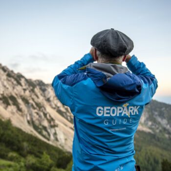
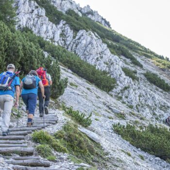
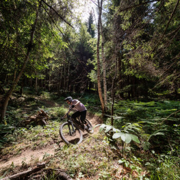
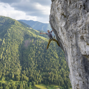
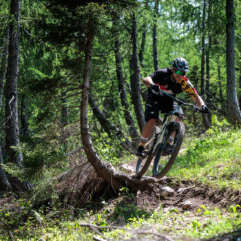
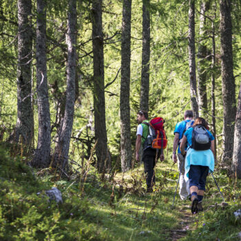
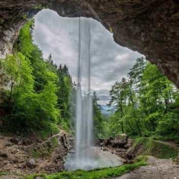
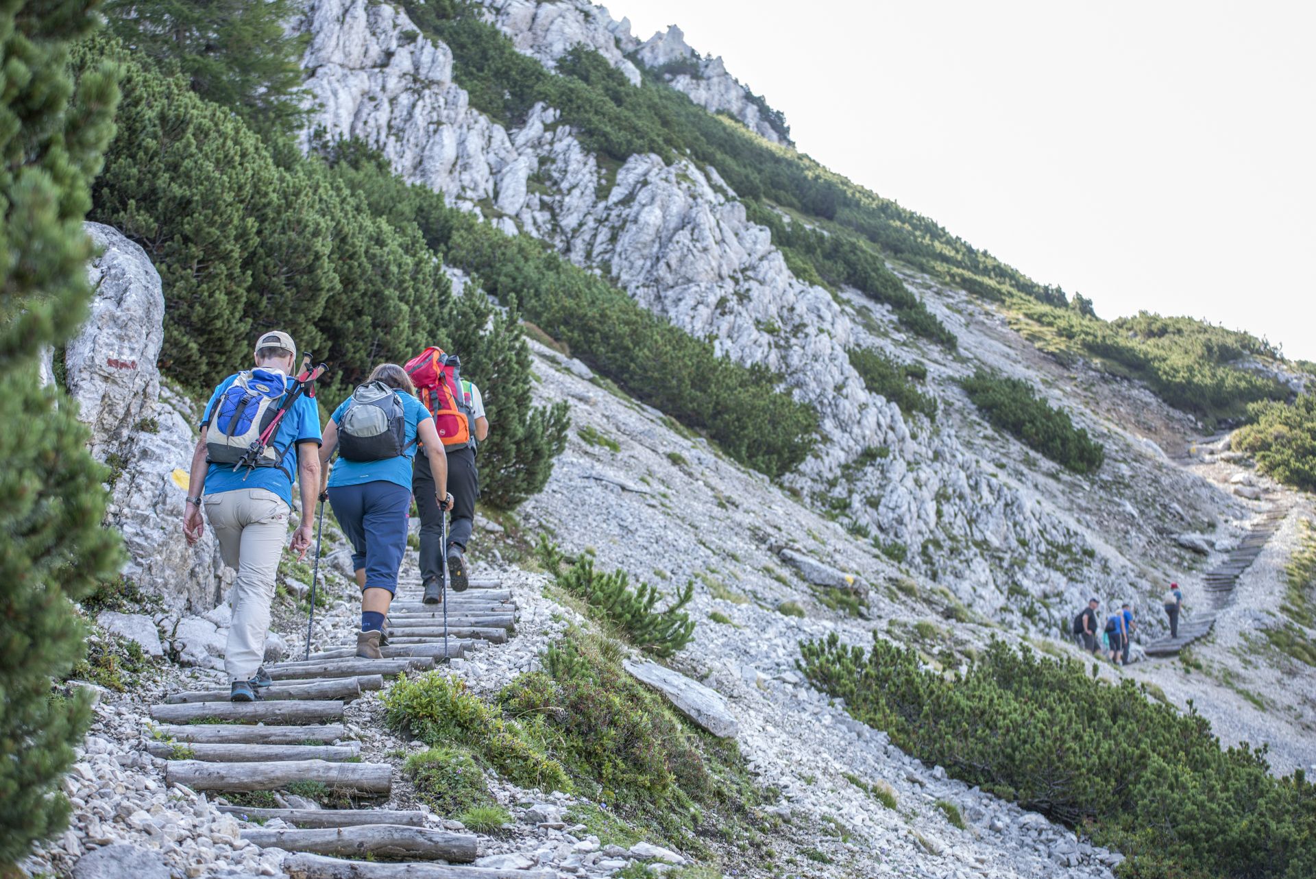
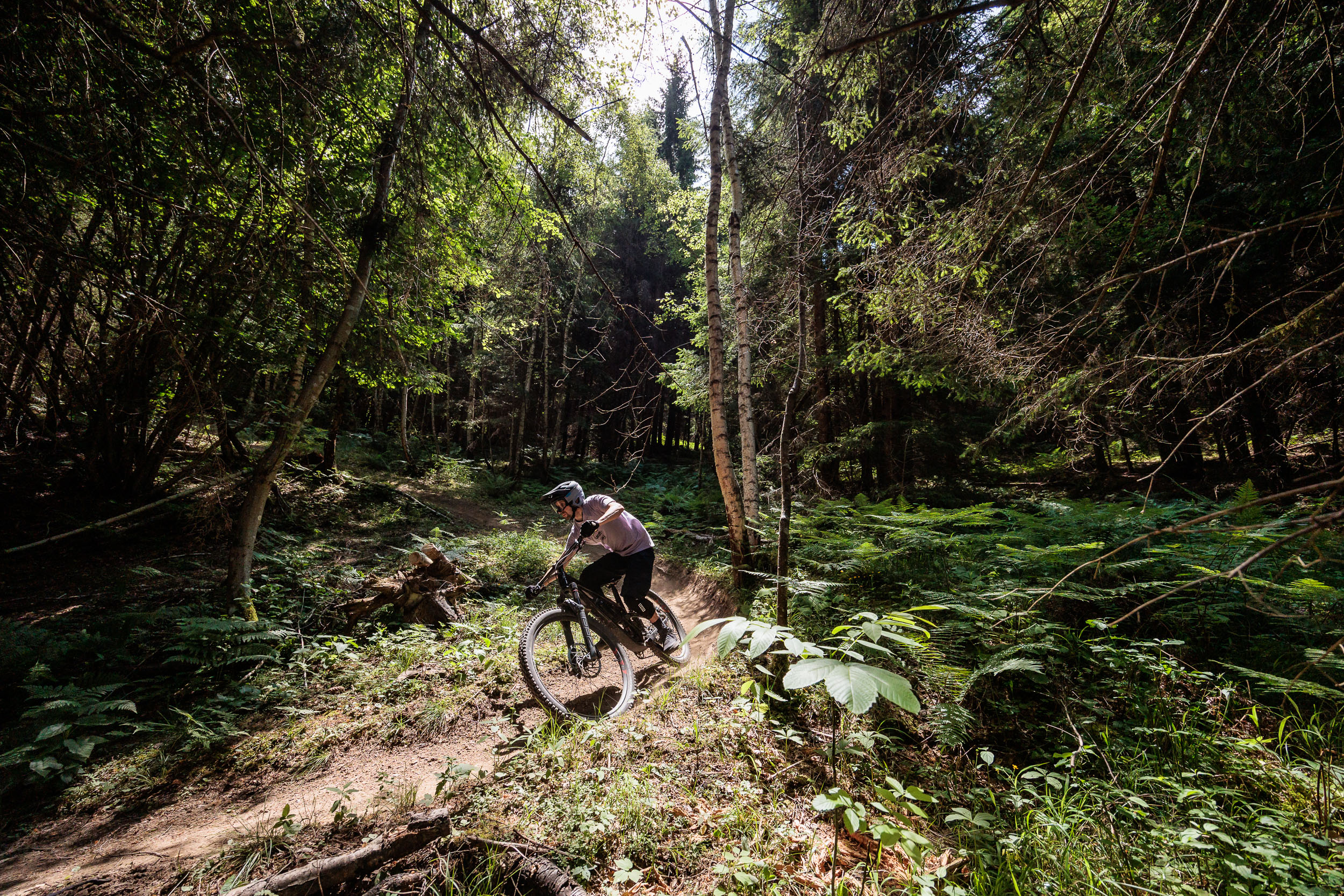
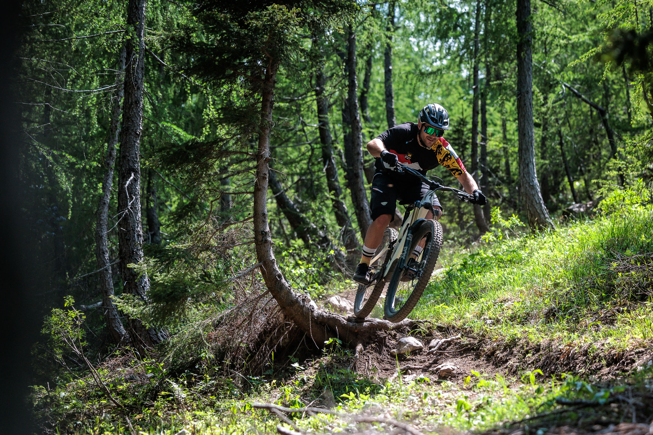
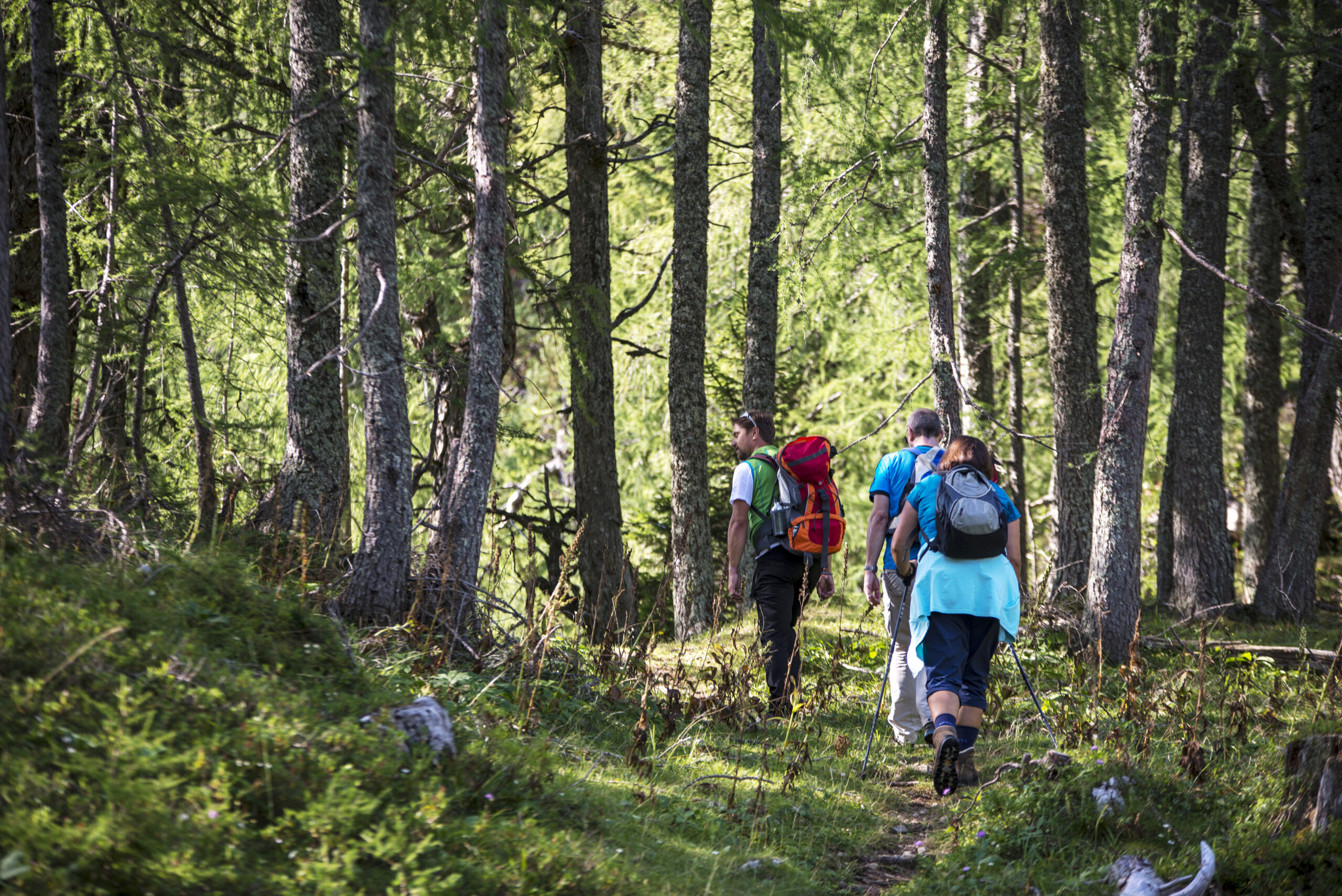
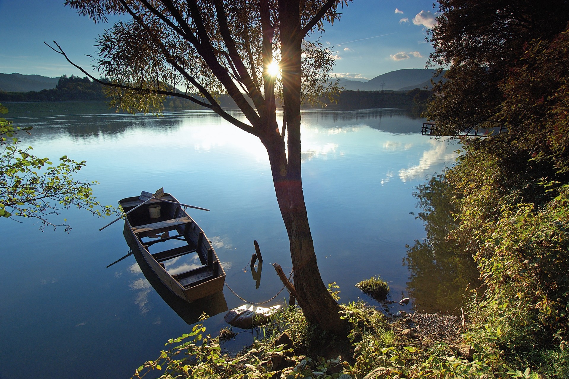
Visitors can explore the Obir dripstone caves, the former Mežica lead and zinc mine, hiking and cycling trails, or even cycle through a mountain on a unique underground bike tour.
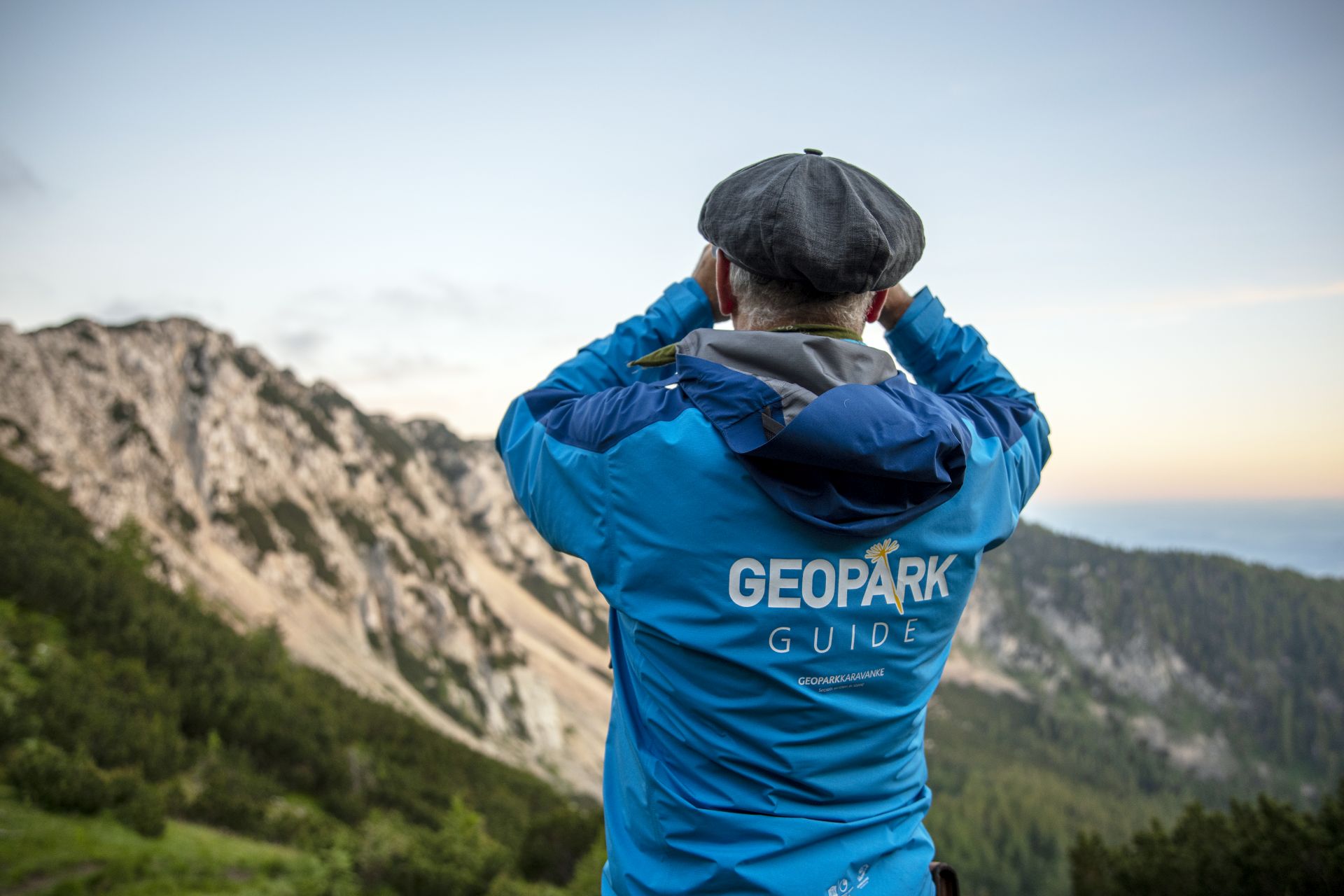
As one of the few transnational UNESCO Global Geoparks, Karawanken-Karavanke serves as a successful example of European cooperation and sustainable regional development.
